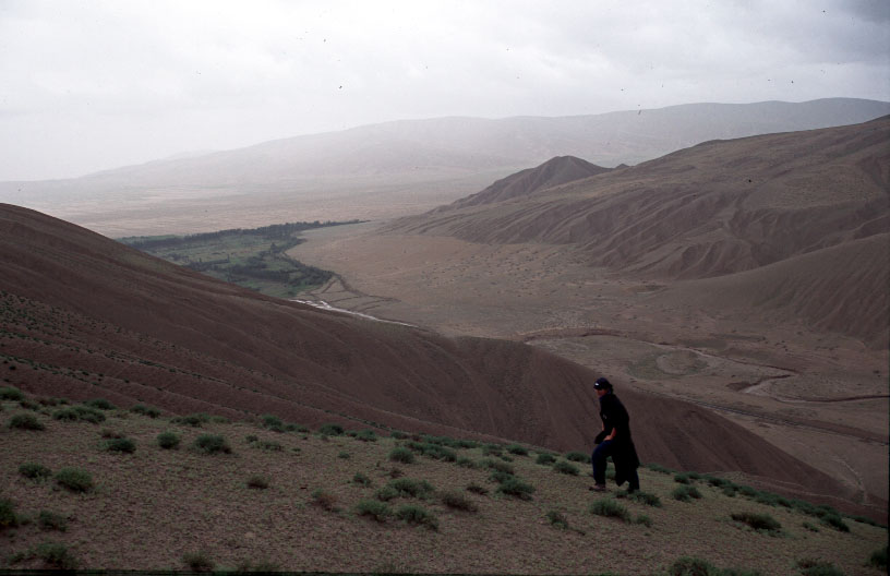
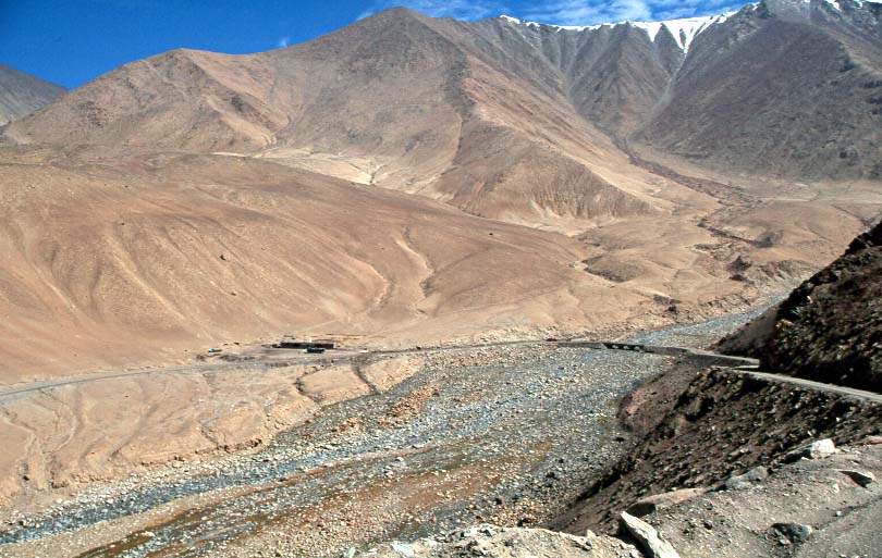
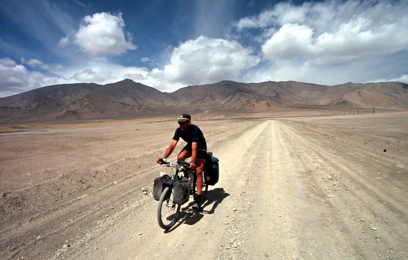
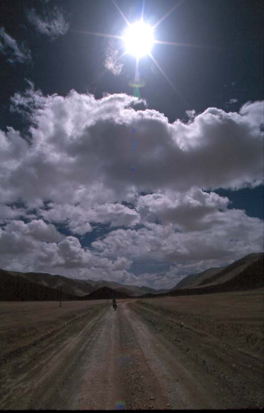
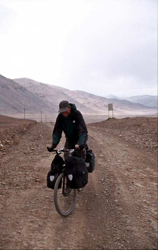
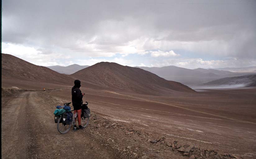
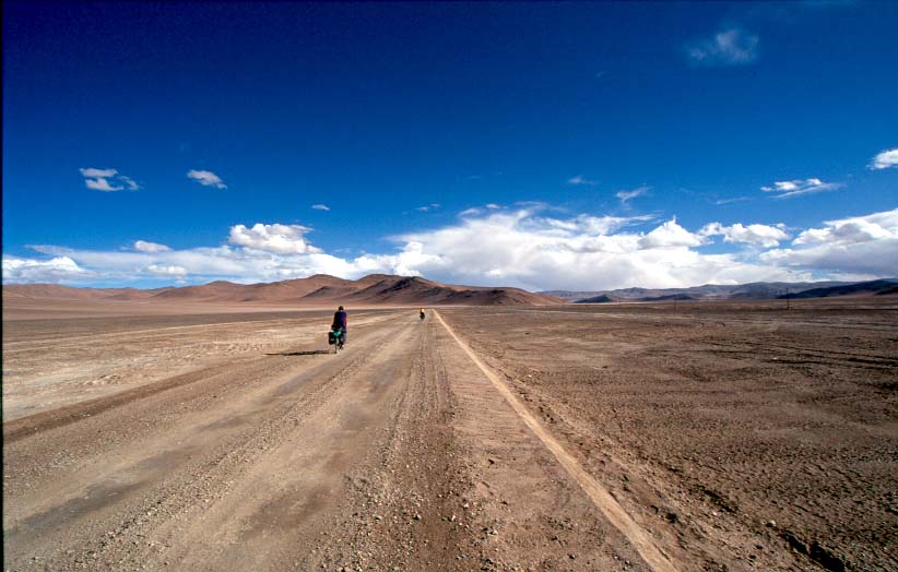
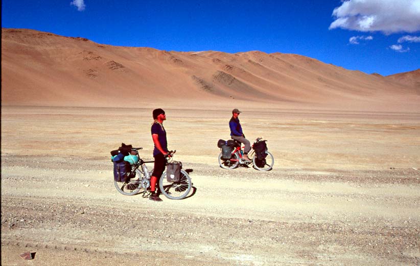
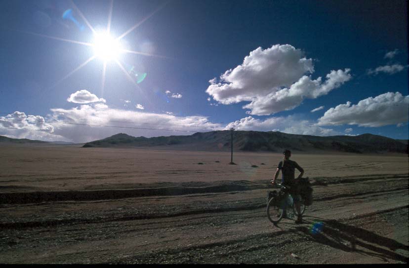
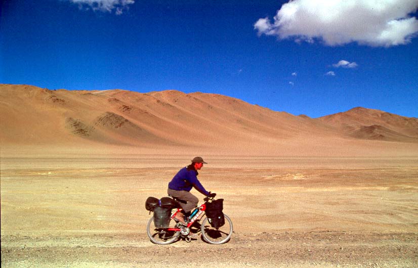
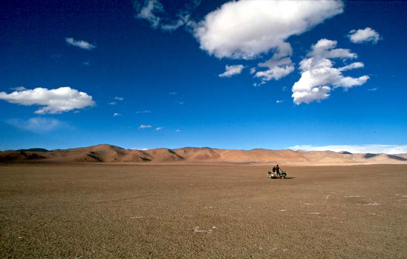
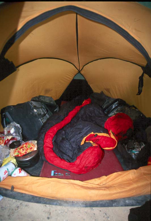
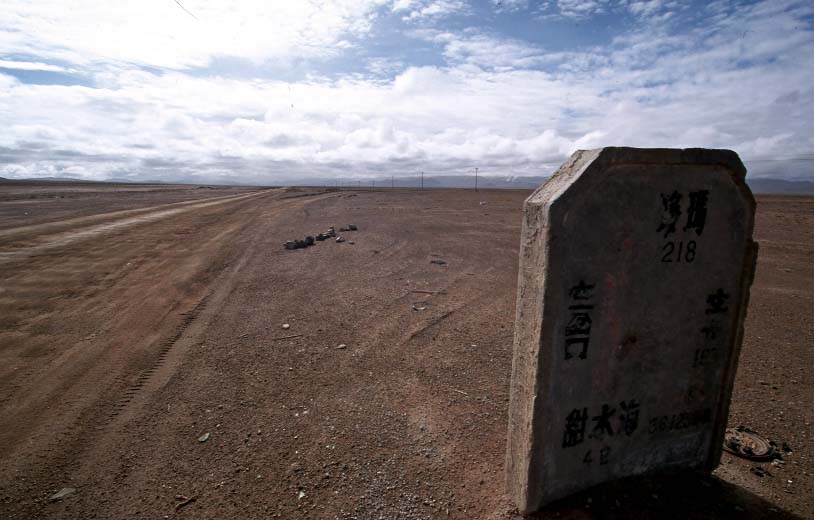
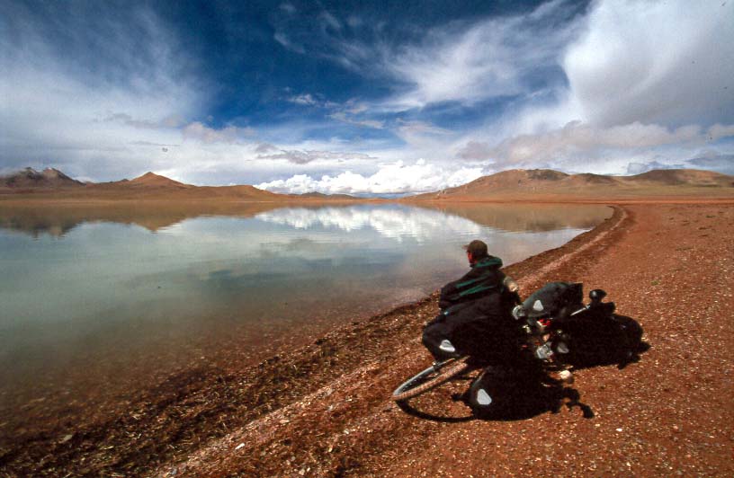
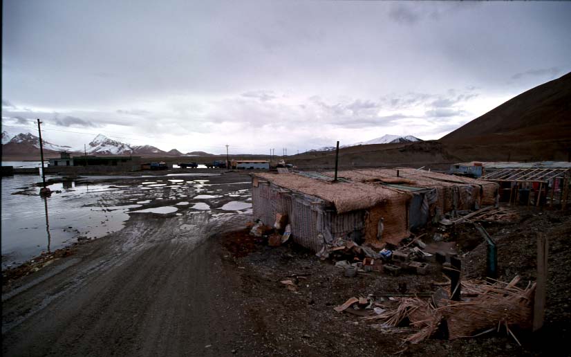
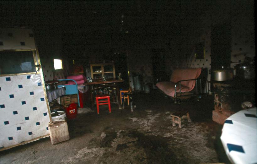
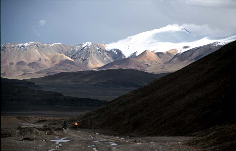
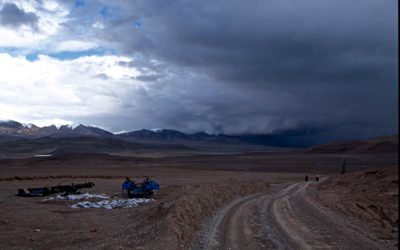
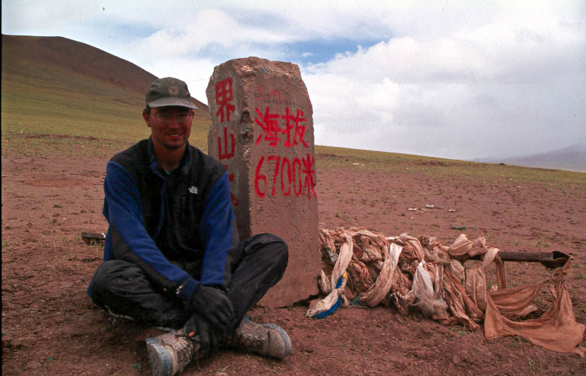
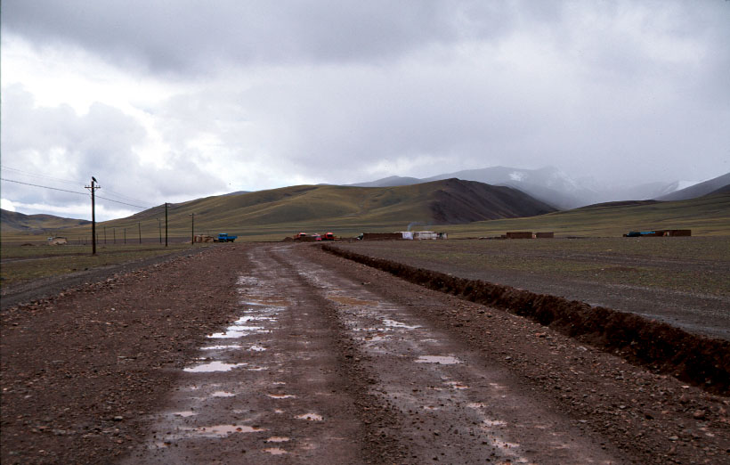
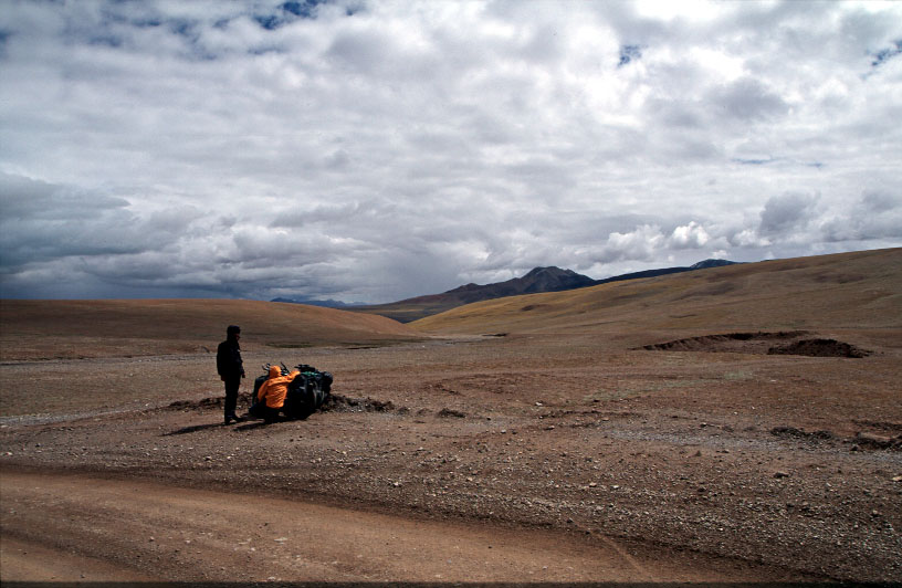
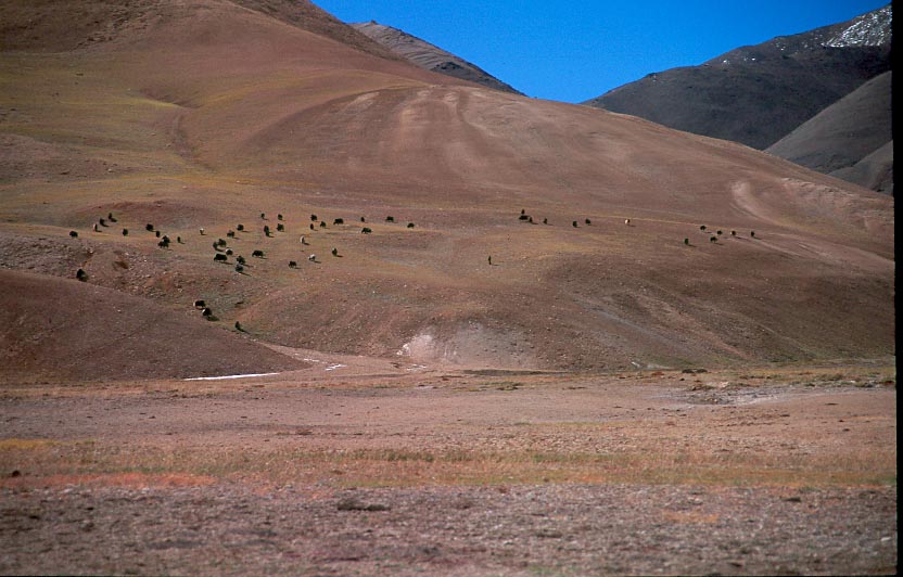
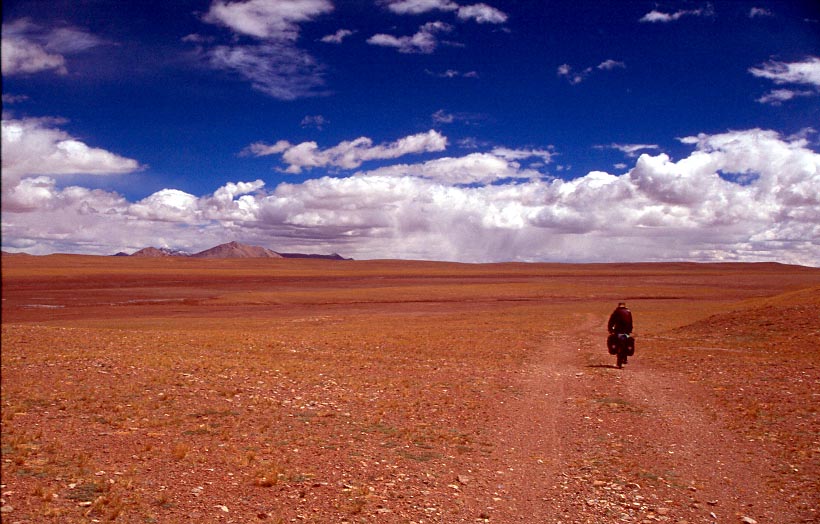
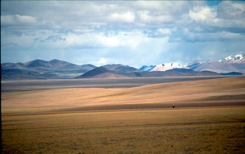
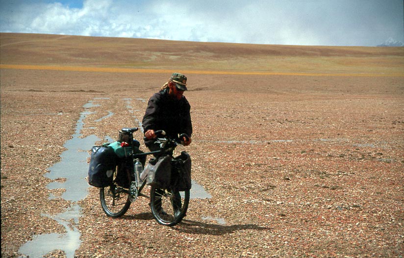
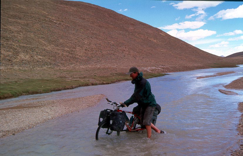
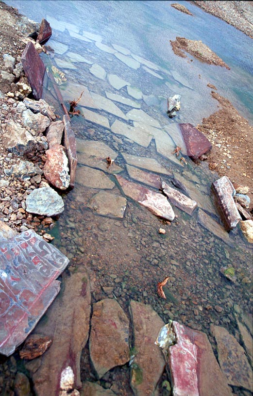
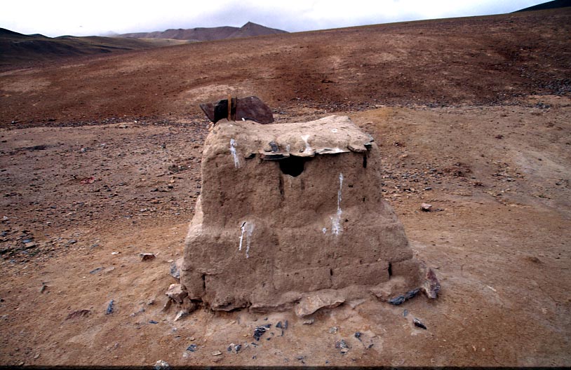
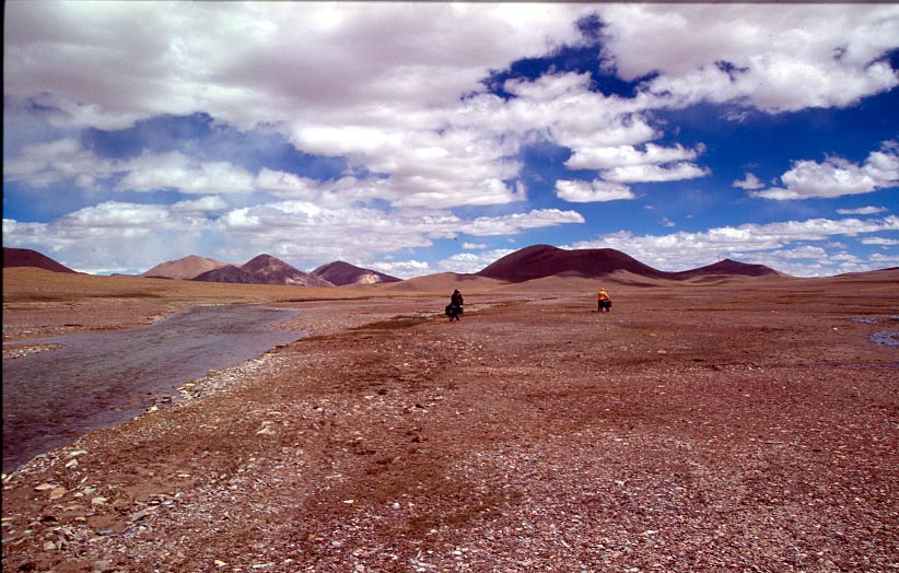
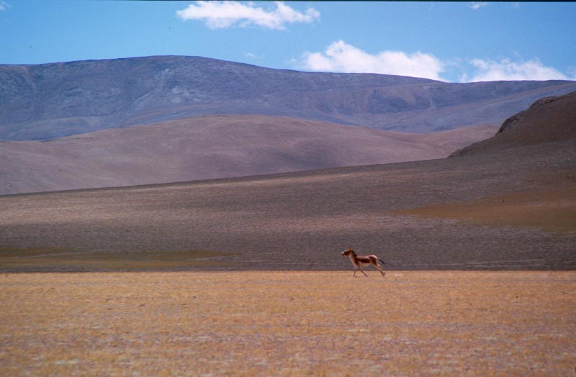
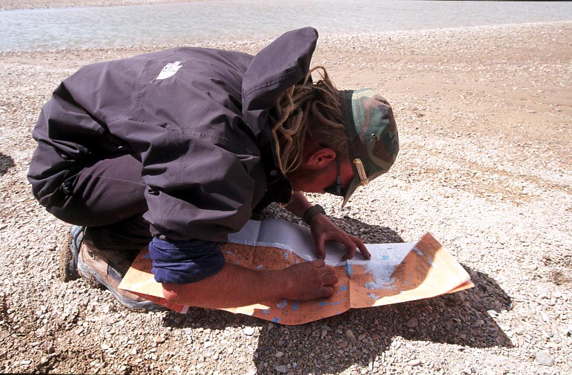
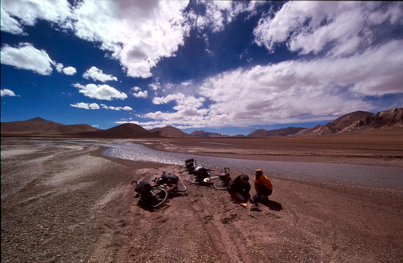
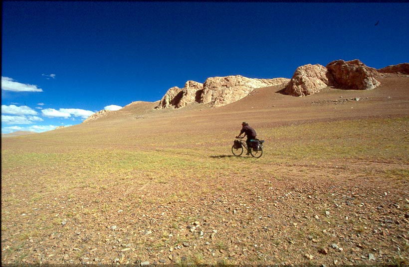
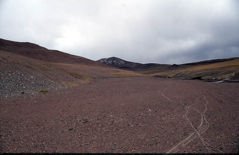
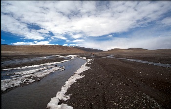
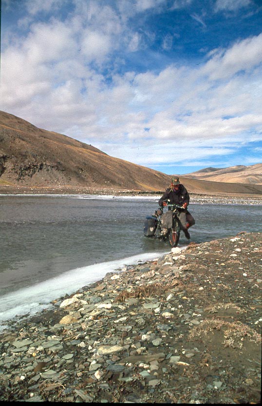
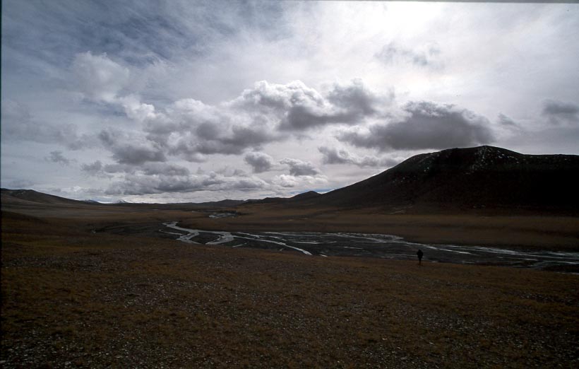
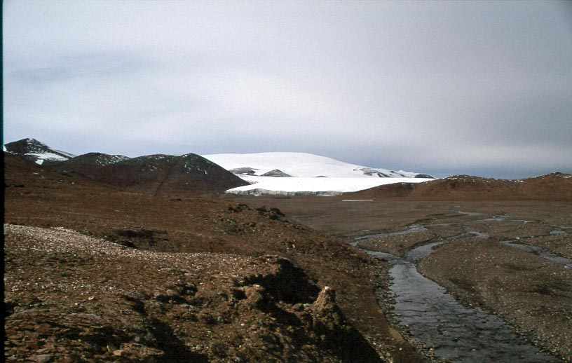
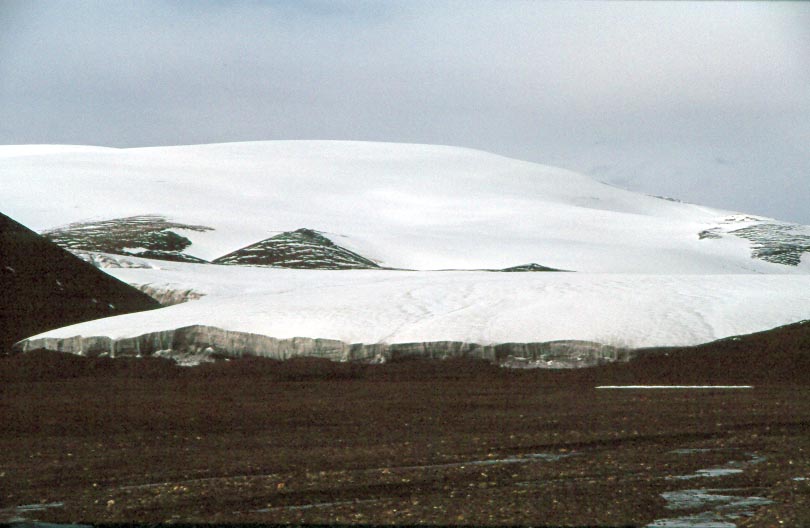
Kerriya Shankou

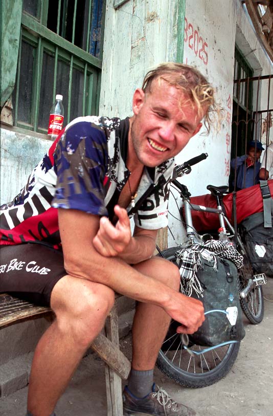
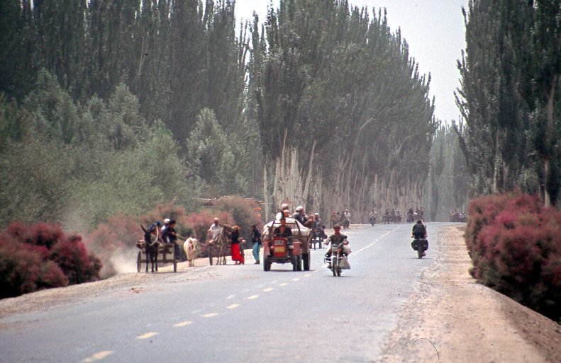
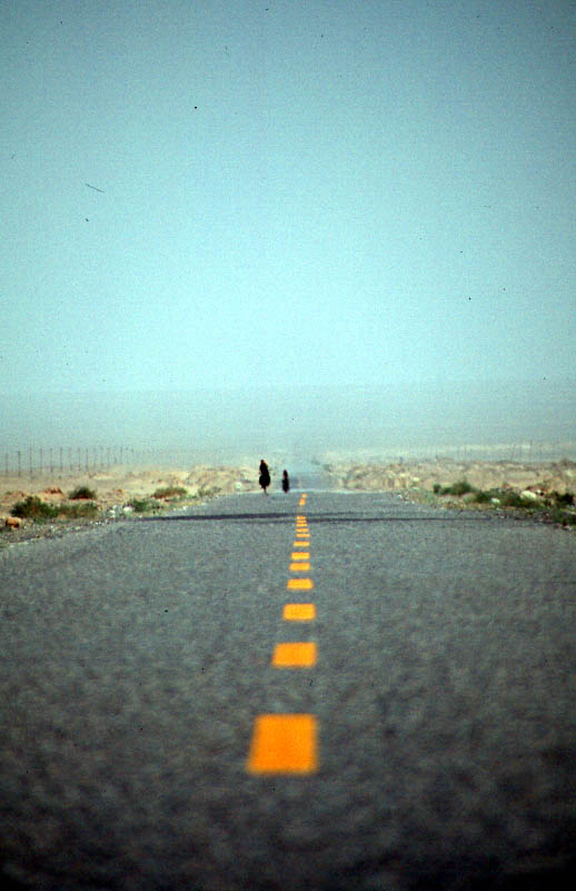
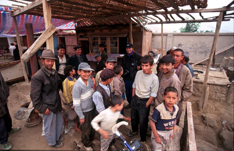
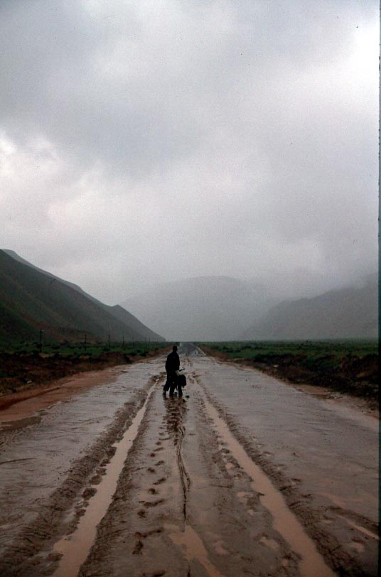
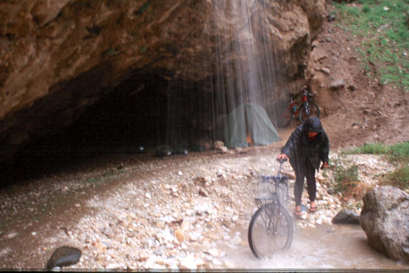
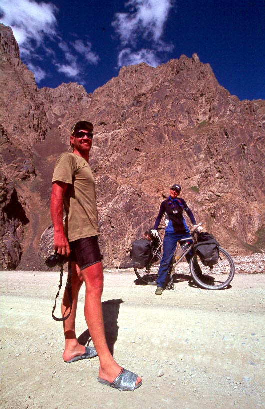
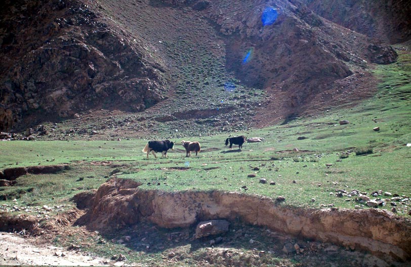
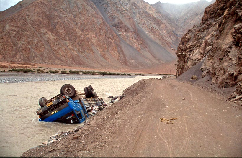
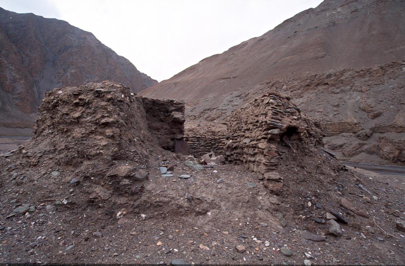
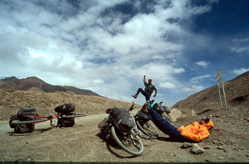
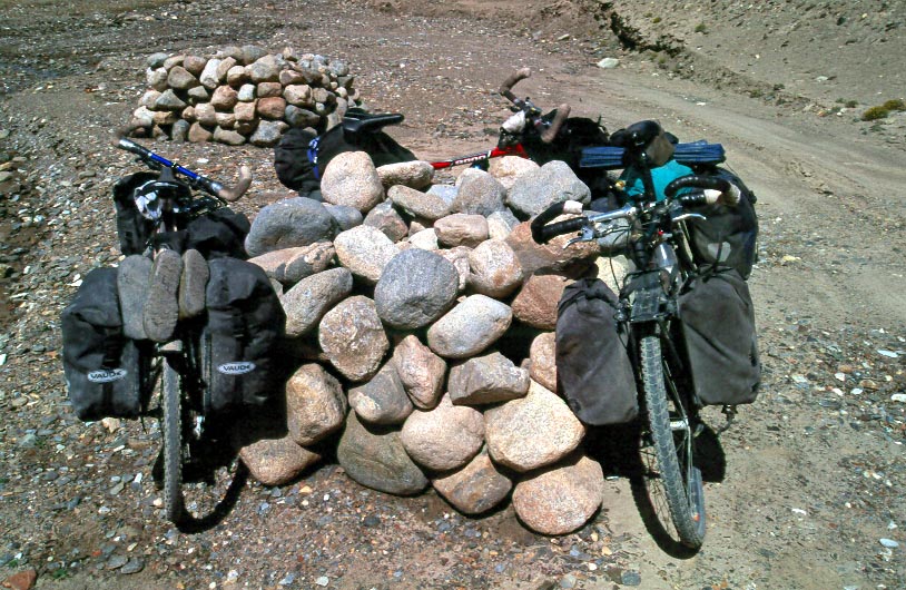
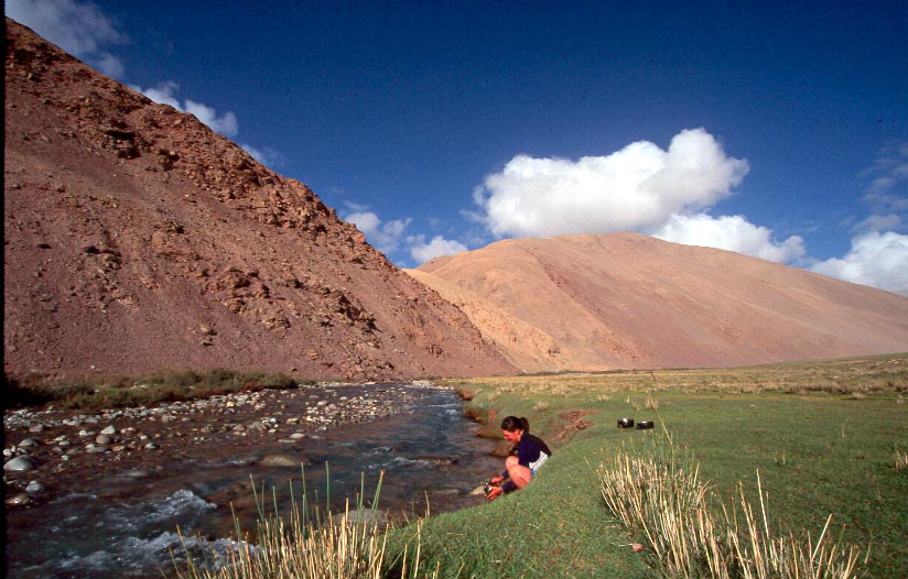
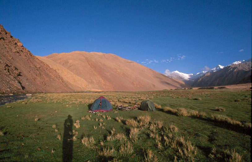
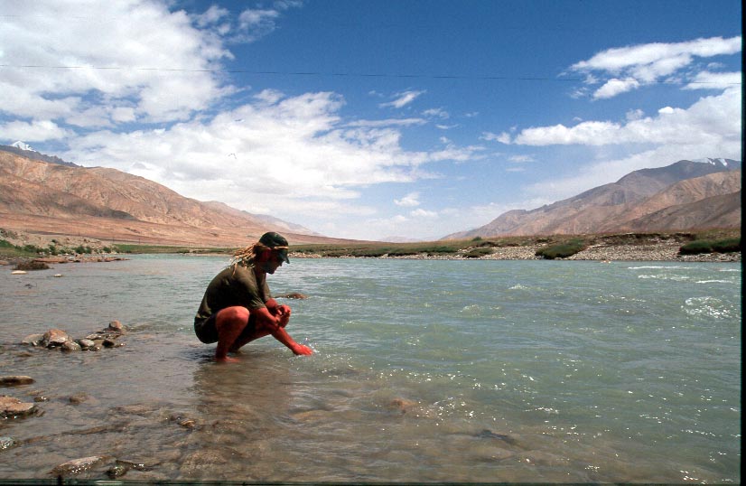
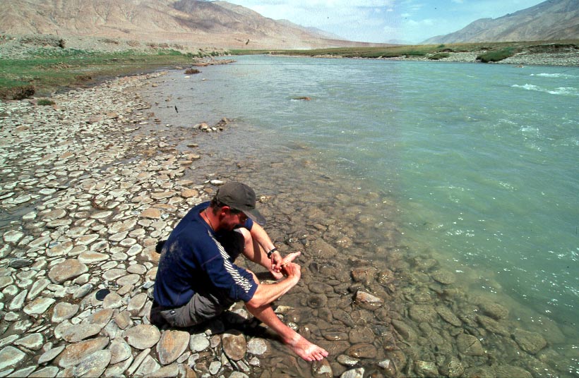
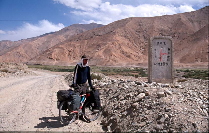
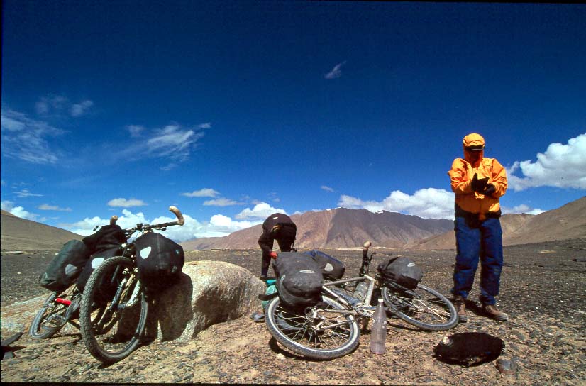
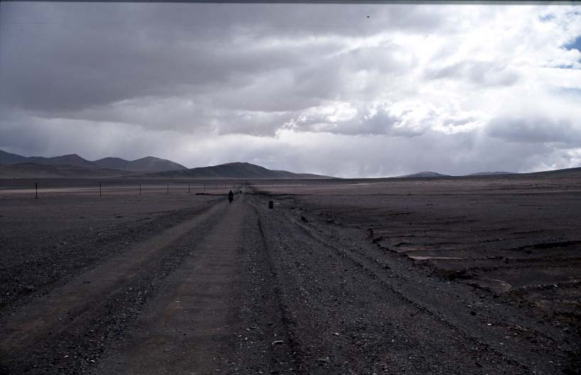
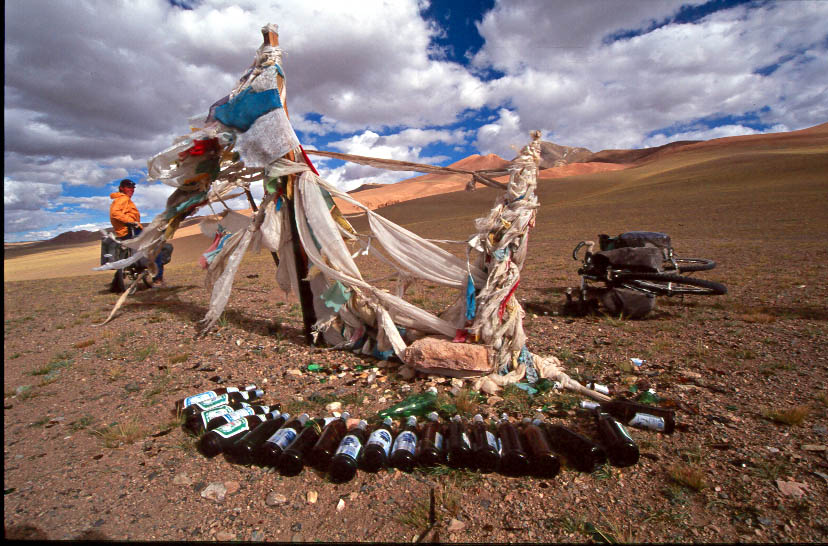
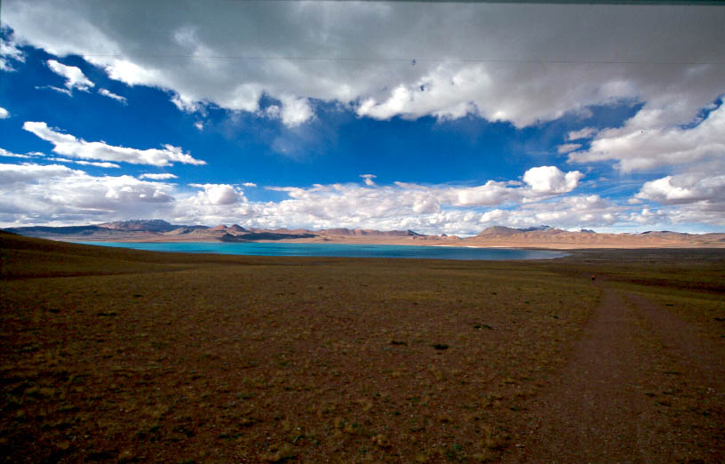
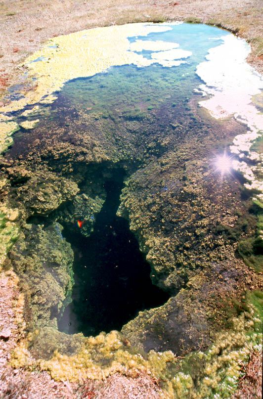
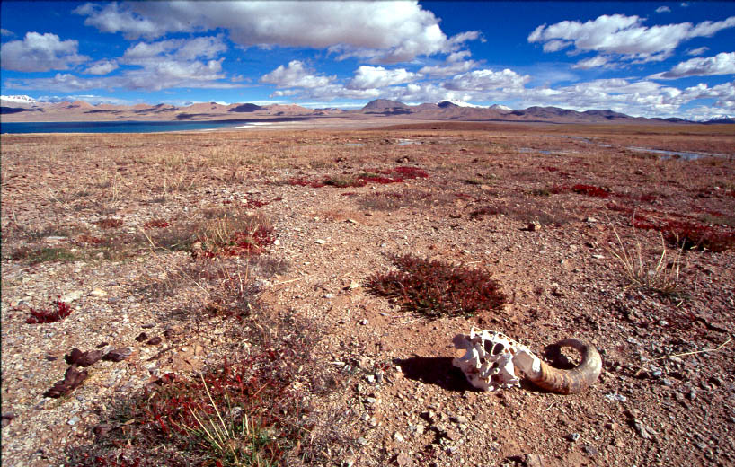
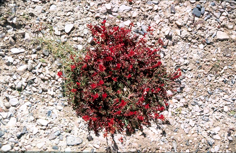
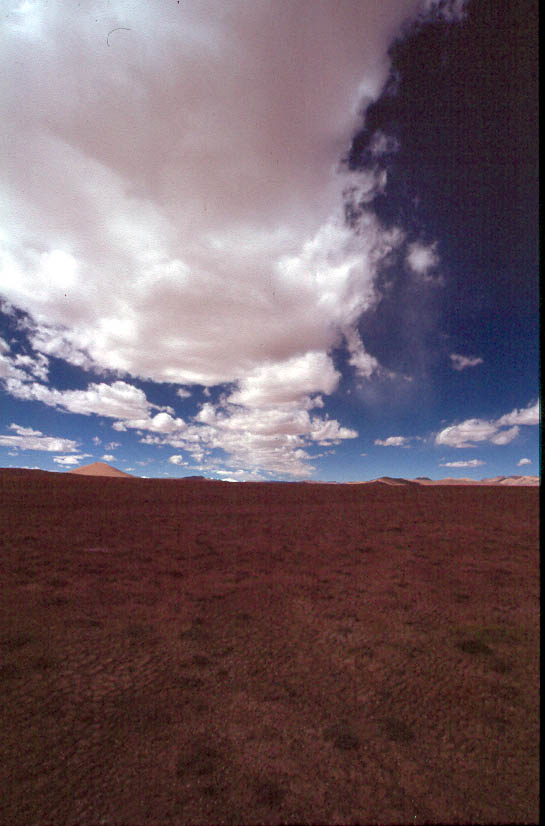
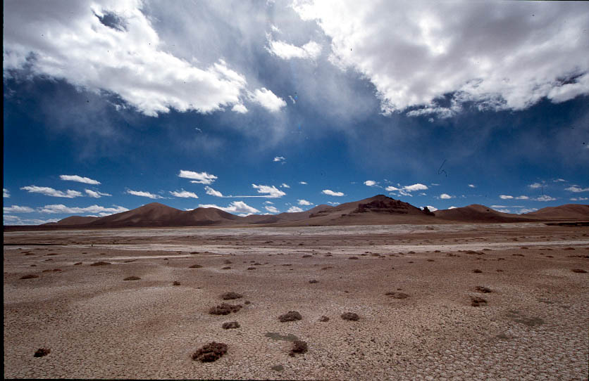
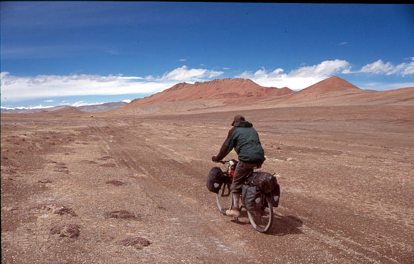
I took some 850 photos in China this summer. Begun to upload some from the Kerriya trip. Made a splitup of the photos over some pages - alternatively click here to get a page with all photos. Drag the mice over the photos and a small text add will turn up. Click on each photo to get an enlarged version in a new window.

Andy burning in the Taklamakan desert sun. He had to give up on joining us because he became sick.The main road leading south around the Taklamakan desert - here in a desert oasis.

First roadnumber on road 219 - some 2000 km long into central Tibet Last part of the asphalt road before hitting the beginning of the Tibetan  pleateauEmpty riverbed we camped next becomes a gushing flashflood during night forcing us to  move campspot. Restday trek to the top of top of the hills surrounding us.

Attemtion in village while buying foodOn the way to a 3300 meters pass on muddy gravel road

Washing bike in waterfall - tents placed in cave. This stone telt down on my tent in the cave just before going to sleep - first wondering - then shock - then moved the tent in panic!

On the way up to the first 5000 meters pass, nearly 100 km  uphill biking. Perfect weather for photographing - here Nadine

Janne and Nadine Still on the way up toward the 5000 m. pass

Yaks where we are about to camp Truck accident! Driver sleep on the right side of the road to bikers like us to steal the

Old fortress guarding vally leading to India's KashmirNadine on the way up the last switchboard sections toward the top of our first 5000 m. pass

On the top of the passStones collected for roadrepair along the river

Dishwash in the morningWhat a place!

Janne Washing dirty socks

The turnoff leading to the Karakoram pass on a military road25 degress hot creek

On the way up the military road toward 5133 m. pass. Toward top of military road passOn the top of the windy 5133 meters pass

About to descend some 100 m. down to a 5000 m. pleateauSome 70 km. to the Karakoram Pass and India

Down at last day's restplace again - turned back by angry military officers we met, following us some 20 km back down the passOn the main road again toward Aksai Chin

Roadworker station on they climb up toward the pass marking Aksai Chin, Chinese KashmirJanne in high speed

Low skies and strong sunJanne and I take a break, wating Nadine to catch up.

Arriving at the top of the pass - Aksai Chin awaitsLocal hailstorm in Aksai ChinMainroad  219Photo session

Late in the dayHot cycling at 5000 meters altitudeCamp spot of the dayJust camped - everything unorganised. Instant noodles in the left down cornerTurn-off toward India in Aksai Chin

willing to exchange anything for views like this!Truck dump hole called Tielong. The nearby lake is about to swallow the array of depressing restaurants

Inside a Tielong restaurant and sleeping placeFor some strange reason, loads of graves can be found along the Aksai Chin road with 1979.8 - deaths from a clash against India?

Surpreme surroundingsBad weather comming in after crossing a some 5300 meters pass

Next to the borderstone marking the border between the Xinjiang and Xizang (Tibet) provinceDescending from the border pass when a snowstorm hits us

Sumsi truck spot in front - camp just after it and use one day for reconniance in truck.We cycle back again to the Tibet border pass and turn east into the Chang Tang nature reserve Prayerflag marking small pass - Just passed around this salt lake

Tot spring next to our campspotBarrenness

IFor some strange reason, loads of graves can be found along the Aksai Chin road with 1979.8 - deaths from a clash against India?

Surpreme surroundingsBad weather comming in after crossing a some 5300 meters pass

Checking out American militay map (TPC)

At this time, we didn't realise we could spend most of a week on the east side of this glacier massive.Different photo

Sky Highway along the vallyRock formation to the south

empty, Bangdag lake hidden by horisonGegun to drag bikes over small 5100 meters pass north of Banddag lake

Found a trucktrail to cycle in - ground too soft outside the such trailsjust descended from the small pass, river behind photografer

Followed this river for some 1½ day to the eastCrossing icy river in the morning

janne crossing riverRiver comming from a nameless peak futher to the east, now we turn north (left)Tsampa (tibetan food consisting of butter tea mixed with crushed grain - not that tastyAscending up toward a small range of hill covering the kerriya pass.

Close to glacier


NEXT »